THURSDAY SNOW: Up to 7″ for Yellowstone, Absarokas and Tetons
Thursday is turning out to be a blessing for those wanting fresh snow. The Bridgers already got 7" to 9" of snow last night, when the Big Sky area received 3 to 4 inches. The rest of Thursday is proving to bring more.
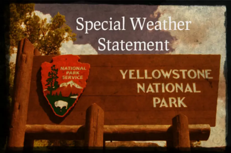
There is NOT an advisory in effect as of this typing, but there is a Special Weather Statement in effect until Thursday evening for several counties, including Yellowstone National Park.
- WHAT: A Special Weather Statement for snow
- WHERE: Yellowstone National Park, the Absaroka Mountains, the Teton Mountains and the Gros Ventre Mountains
- WHEN: This SWS is in effect for the above areas through Thursday evening.
- HOW MUCH SNOW: Snowfall of 2 to 5 inches with the higher elevations seeing 5 to 7 inches.
- (The Bozeman area is also expecting up to 3" of accumulation overnight Thursday.)
- Driving conditions in these areas will become hazardous at times. Some areas will get heavier, wet snow and can become compacted and icy. Slick roads will be an issue, especially over mountain passes after dark.
- Wind is NOT forecasted to be much of an issue with this Special Weather Statement at this time.
- Areas around Red Lodge and the Beartooths will get snow during the day on Thursday that may continue overnight. THEY are under a proper Winter Weather Advisory, and their advisory is in effect until noon on FRIDAY.
Keep in mind that weather can change drastically is a very short amount of time, this time of year. Always keep mindful of the condition of your tires, fluids and especially windshield wipers. They can make or break our visibility during periods of snow and slush.
KEEP READING: Here are the best places to retire in America
More From KISS FM