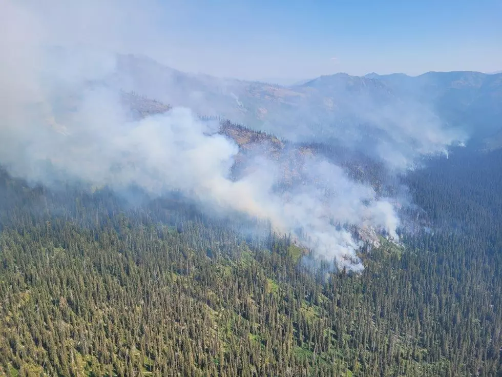
A large area of southwest Montana will get dangerous winds gusts Sunday and Monday. Hazardous travel conditions and power outages from downed branches and trees are possible.
Thursday is turning out to be a blessing for those wanting fresh snow. The Bridgers already got 7" to 9" of snow last night, when the Big Sky area received 3 to 4 inches. The rest of Thursday is proving to bring more.
The National Weather Service has issued a Winter Weather Advisory until Friday at 9 p.m. for this storm. Strong gusty winds as high as 35 mph are expected in the Bozeman.
Our mountains are getting another round of snow, with up to 10 inches near Homestake Pass and Georgetown Lake. The high elevations around Bozeman are only supposed to see up to 5" by Tuesday morning.
The brutal cold temperatures are no secret this week. Gallatin County and most of Montana are under a week long deep freeze. Now add a Wind Chill Advisory on top of that.
Yellowstone National Park is the poster child for winter this week with frigid temps and TONS of fresh snow. The next storm could bring 16 more inches of new snow by Friday night in the Park.