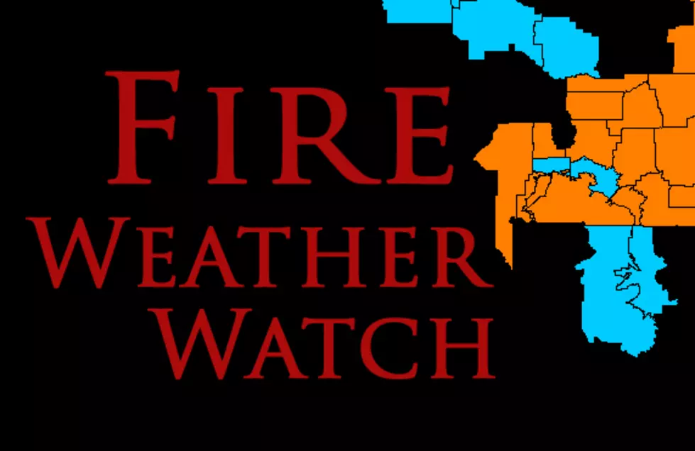
MT Fire Weather Watch for Tuesday and Wednesday
Another wave of dangerous conditions for Montana: high temps, gusty winds and low humidity are prompting a Fire Weather Watch for several counties.
We've also attached a 'fire zone' map below for easier reference. Often, the NWS will refer to these zones instead of specific counties.
The following Watch includes MANY counties that include areas around Great Falls, Helena, Butte, Anaconda and Bozeman.
According to the National Weather Service:
- FIRE WEATHER WATCH REMAINS IN EFFECT FROM TUESDAY AFTERNOON THROUGH WEDNESDAY EVENING FOR LOW RELATIVE HUMIDITY AND GUSTY WINDS.
- AFFECTED AREA...Fire Weather Zones 112, 113, 114, 115, 116, 117 and 118. (See Montana Fire Zone Map below.)
- TIMING...Tuesday afternoon through Wednesday evening.
- WINDS...West 15 to 25 mph winds with gusts up to 30 mph, mainly during
the afternoon hours. - RELATIVE HUMIDITY...Mostly 13 to 20 percent during the afternoon hours, with recovery mostly in the 45 to 55 percent range Tuesday night.
- TEMPERATURES...Highs mostly in the 80s, with lows mostly in the
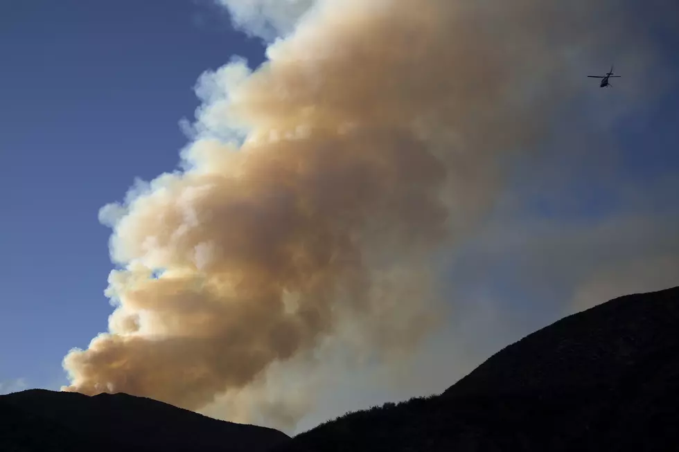
upper 40s to mid 50s. - IMPACTS...Fires can ignite quickly and easily and spread rapidly under these dry and breezy conditions. Those who are recreating in the backcountry need to be especially careful as steep slopes make for very dangerous locations if a fire should begin.
- The moderate to poor humidity recovery could hinder fire control efforts Tuesday night, especially on the mid slopes of mountains. Basically, any fires that start will be VERY DIFFICULT to control or contain.
- A Fire Weather Watch means that critical fire weather conditions are possible. A combination of gusty winds, low relative humidity, and warm temperatures will create high fire growth potential.
More From KISS FM