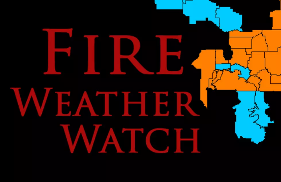
50 MPH Winds Possible Thursday With Fire Weather Watch
The Bozeman area and several other counties may see dangerous winds on Thursday afternoon along with a Fire Weather Watch. Thankfully, the dangerous conditions shouldn't last more than a day.
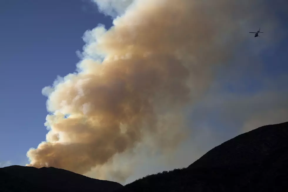
Little moisture in the last several days have dried areas in southwest Montana. Although temps will not be extremely high, the wind gusts could be dangerous and any fires that begin would be incredibly difficult to control.
According to the National Weather Service:
FIRE WEATHER WATCH IN EFFECT FROM THURSDAY AFTERNOON
THROUGH THURSDAY EVENING FOR STRONG GUSTY WINDS FOR FIRE WEATHER ZONES 112, 113, 114, 115, 116, 117, AND 118.
(Please see Fire Zone Map below for further details on affected counties. We've included it here because Fire Zones do not exactly match up with county lines.)
- AFFECTED AREA...Eastern Glacier/Toole/Central/Eastern Pondera/Liberty, Hill and Blaine Counties (several forest districts are listed below and each forest district may include several different counties, or PARTS of several different counties, FYI.)
- Lewis and Clark National Forest Rocky Mountain District-Rocky Mountain Front, Chouteau and Fergus Counties
- Lincoln Ranger District of the Helena National Forest
- Central and Eastern Lewis and Clark National Forest Areas
- Helena and Townsend Ranger Districts of the Helena National Forest.
- WINDS...West winds 25 to 35 mph with gusts up to 50 mph.
- Gusts up to 65 mph along the Rocky Mountain Front
- HUMIDITY: 20-30 percent.
- IMPACTS...Strong west winds will develop across the area on Thursday as a Pacific cold Front moves through the region.
- Lowest humidity on Thursday will occur across lower elevation grassland areas where vegetation is driest and could contribute to rapid spread if a fire develops.
- A Fire Weather Watch means that critical fire weather conditions are possible. A combination of gusty winds, low relative humidity, and warm temperatures will create high fire growth potential.
More From KISS FM