Bozeman Area Could See Up to 10″ of Snow in the Next Week
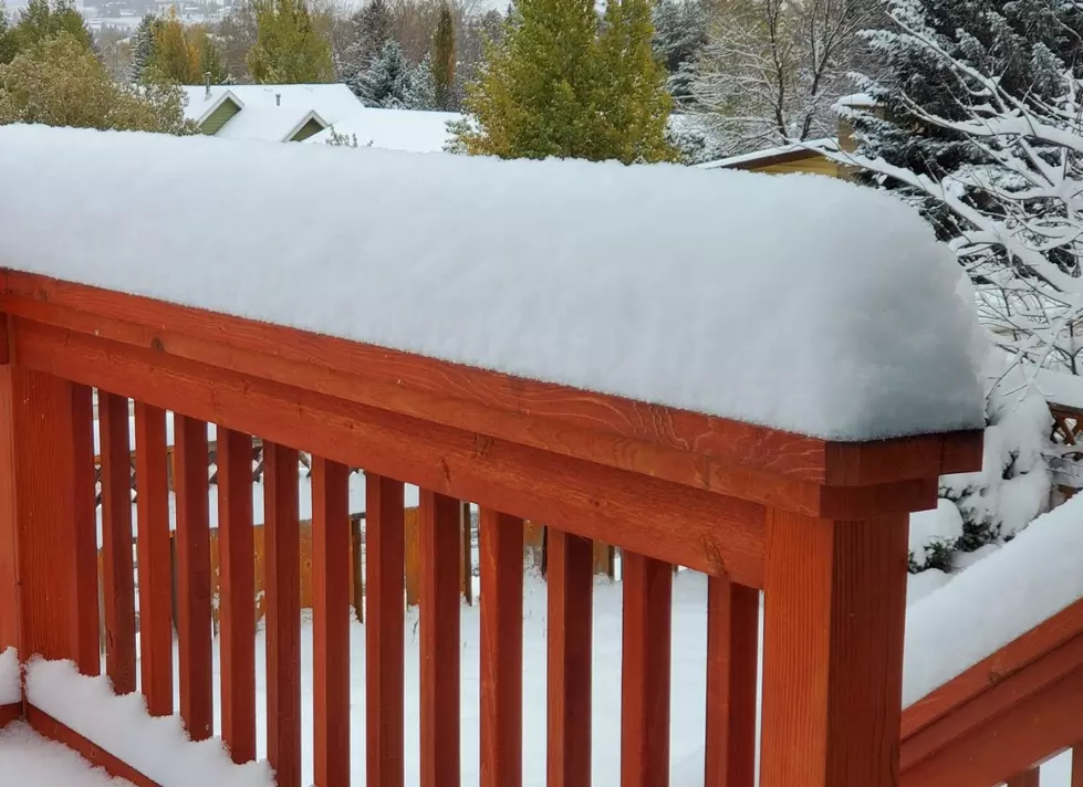
Snow is on the way for the Bozeman area and by this time next week, we could have up to 10 inches on the ground. The first storm is expected to begin late Friday afternoon and predicted to drop one to three inches in the local valleys.
Partly cloudy skies will return Sunday and Monday, then we have several storms in the forecast to start off February. Next week, we can expect several inches of snow each day beginning Tuesday evening, Wednesday, Thursday, and again on Friday. With these storms they are calling for:
- Up to 10" of snowfall over the course of the week
- Reduced road conditions
- Slippery roads
- Low visibility
- Areas of blowing snow
- Difficult travel especially for mountain passes
Currently, a Winter Weather Advisory has been issued by The National Weather Service for southern parts of the county. The advisory is in effect until 5 a.m. Saturday morning. The advisory is in effect for southern portions of Gallatin, Madison, and Beaverhead Counties. Saturday morning the roads are expected to be slick and icy. The heaviest snowfall will be along the Montana-Idaho border during the day on Friday.
These storms will be good for the snowpack in the local mountains which is below normal according to the United States Department of Agriculture. Currently, Gallatin County is 75% to the normal yearly average. The increased snowpack will also aid the local ski conditions at Big Sky Ski Resort and Bridger Bowl. If you are planning on hitting the slopes be sure to check the latest conditions here.

Snow Weekend in Bozeman
More From KISS FM