
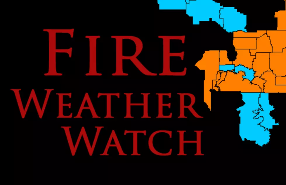
Fire Weather Watch: Friday for Most of Montana
Dangerous conditions including gusty winds for Bozeman, Manhattan, Townsend and other areas on Friday have prompted a Fire Weather Watch.
With so many tourists and locals alike heading out to camp and recreate, extra precautions need to be taken in the back country.
According to the National Weather Service:
- FIRE WEATHER WATCH REMAINS IN EFFECT FROM FRIDAY AFTERNOON THROUGH FRIDAY EVENING FOR LOW RELATIVE HUMIDITY AND GUSTY WINDS.
- AFFECTED AREA...Fire Weather Zones 112, 113, 114, 115, 116, 117
and 118. (See Montana Fire Zone Map below) - TIMING...Gusty west winds and low relative humidity Friday
afternoon and evening. - WINDS...West 15 to 25 mph with gusts up to 35 mph.
- RELATIVE HUMIDITY...As low as 18 percent.
- TEMPERATURES...Mostly 70s to lower 80s...but in the 60s in the
mountains. - LIGHTNING...Lightning activity will increase Thursday with thunderstorms, which will primarily be accompanied by localized rain. However, the increase in lightning followed by dry and windy conditions Friday could result in hold-over ignitions emerging on Friday.
- IMPACTS...Any fire starts may rapidly spread in dry and windy conditions Friday.
- A Fire Weather Watch means that critical fire weather conditions are possible. A combination of gusty winds, low relative humidity, and warm temperatures will create high fire growth potential.

More From KISS FM


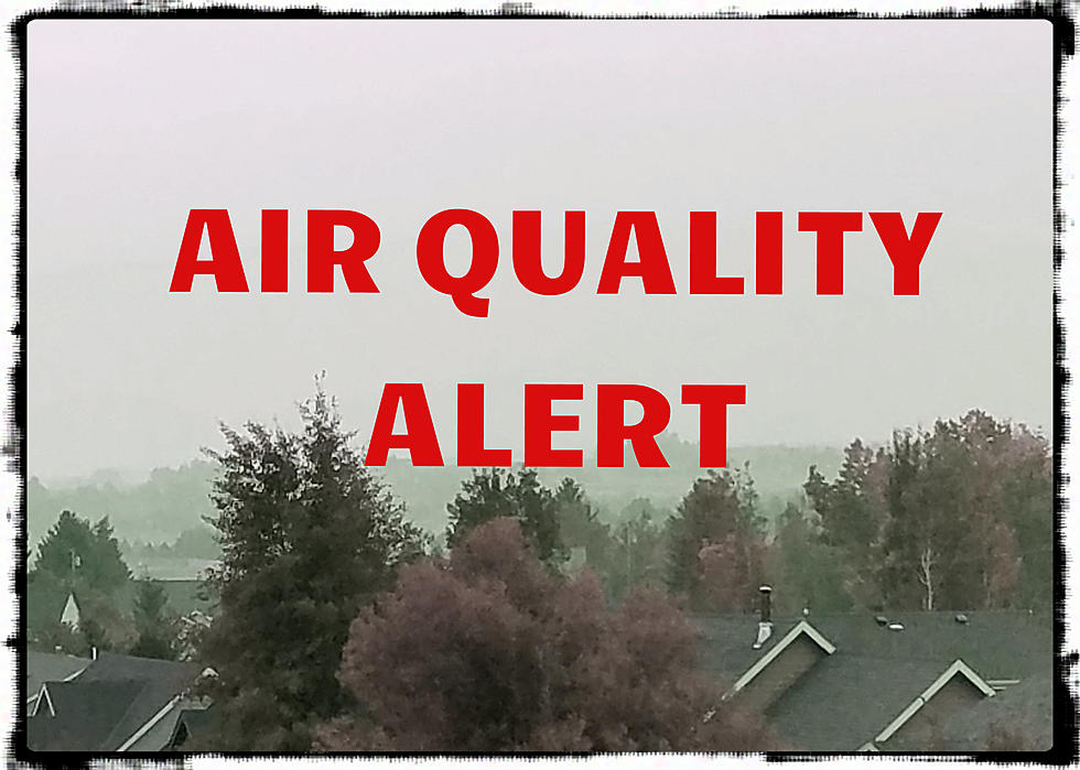

![Montana Air Quality Alert Issued [MAP]](http://townsquare.media/site/13/files/2017/09/Montana-Air-Quality-Map-Sept-8.jpg?w=980&q=75)