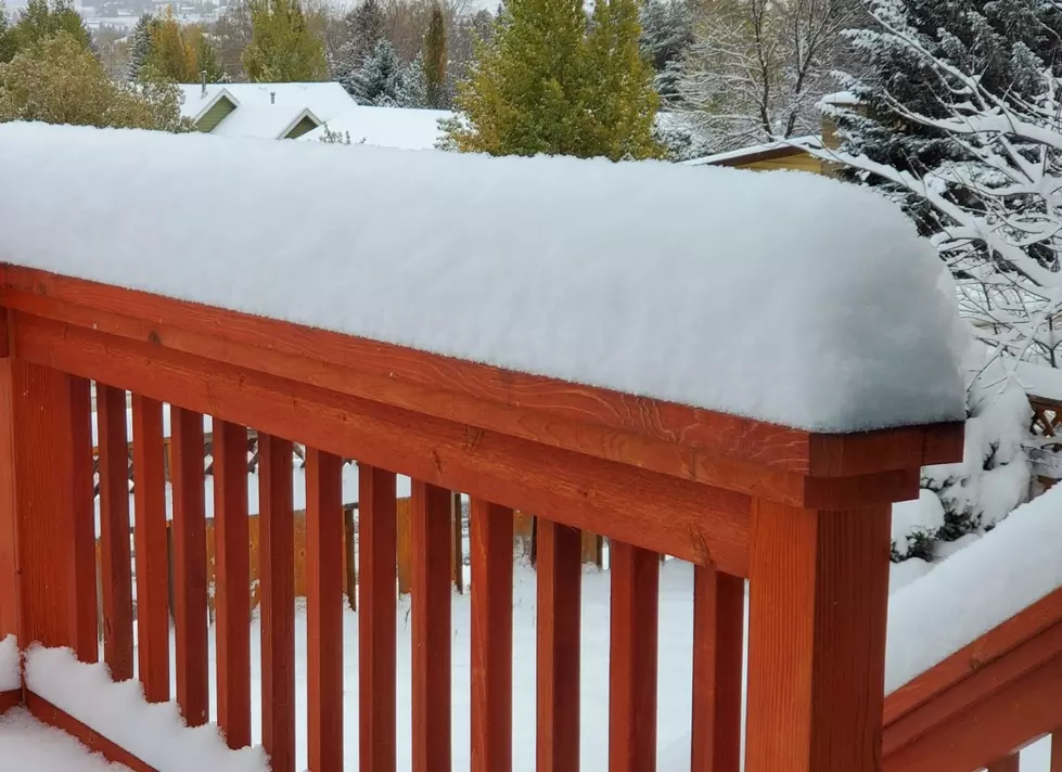
SNOW ALERT: 12″ Possible for Montana/Idaho Border
The southern portions of Madison and Gallatin counties could be quite treacherous for travel through Thursday evening. Snow and wind are both expected for the southern Mountains near the Idaho border.
There is a Winter Weather Advisory in effect until Thursday evening. Conditions are not expected to affect northern Gallatin and Madison counties. Bozeman is NOT included in this Weather Advisory.
- Lone Mountain at Big Sky Resort was already experiencing 60 MPH gusts early on Wednesday morning.
- WHAT: Snow is expected to continue in the southern mountains near the Idaho border through Thursday at 5pm.
- HOW MUCH SNOW: Lower elevations are expected to get total accumulations of 5" of snow. The highest elevations and mountain passes could get up to 12" of snow.
- WHERE: There is a large area of concern for travelers to the Montana/Idaho border with several counties included in this Weather Advisory.
- Southern Gallatin, southern Madison and southern Beaverhead counties are of the most concern for snowfall.
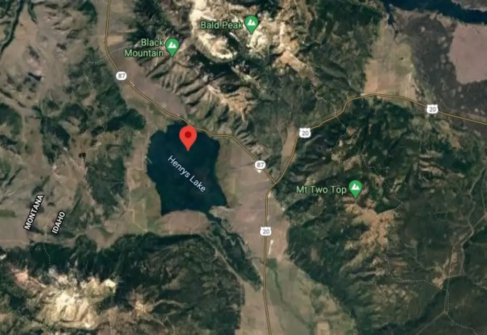
- The Centennial Mountains and the area around Henrys Lake, Mt. Two Top, Island Park, Sawtell Peak and West Yellowstone area could be affected.
- WIND: Gusty winds will be an issue with gusts up to 40 MPH.
- Blowing and drifting snow may be hazardous to travelers.
- The most snow is expected to fall very near the Montana/Idaho border.
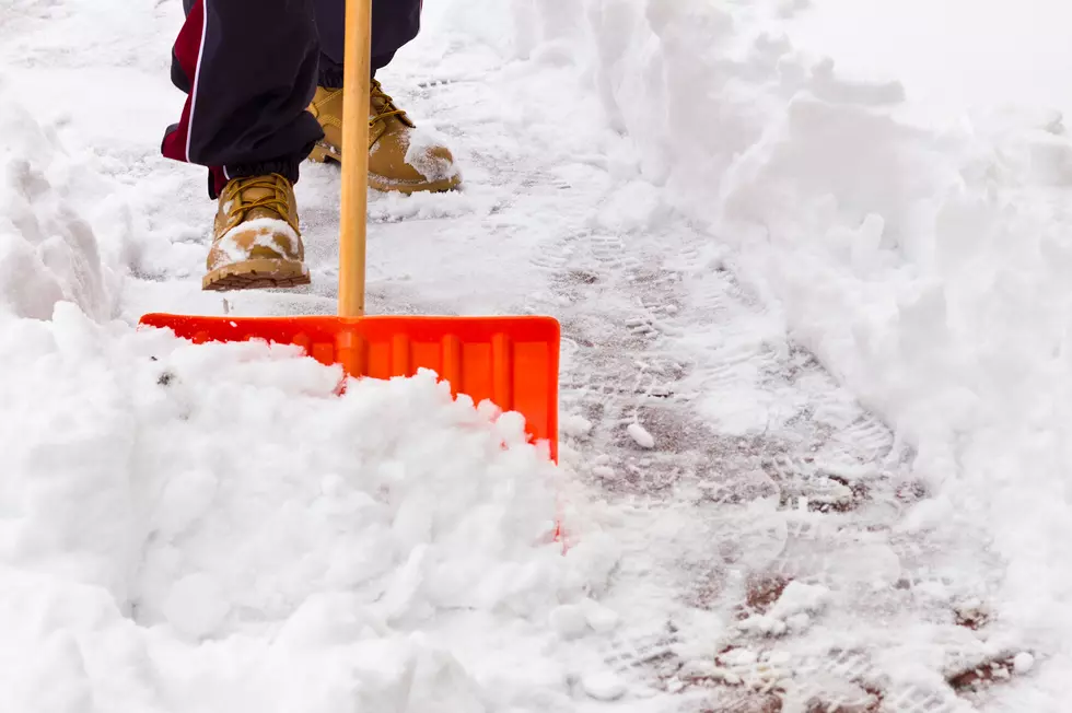
- Make sure you have an emergency kit in your vehicle is you must travel through this region during the Weather Advisory.
- Cell service can be quite spotty in rural areas around Montana. You may need to flag down roadside help in other ways, ie. flares.
More From KISS FM