Earthquake: Southwest of Ennis on Wednesday
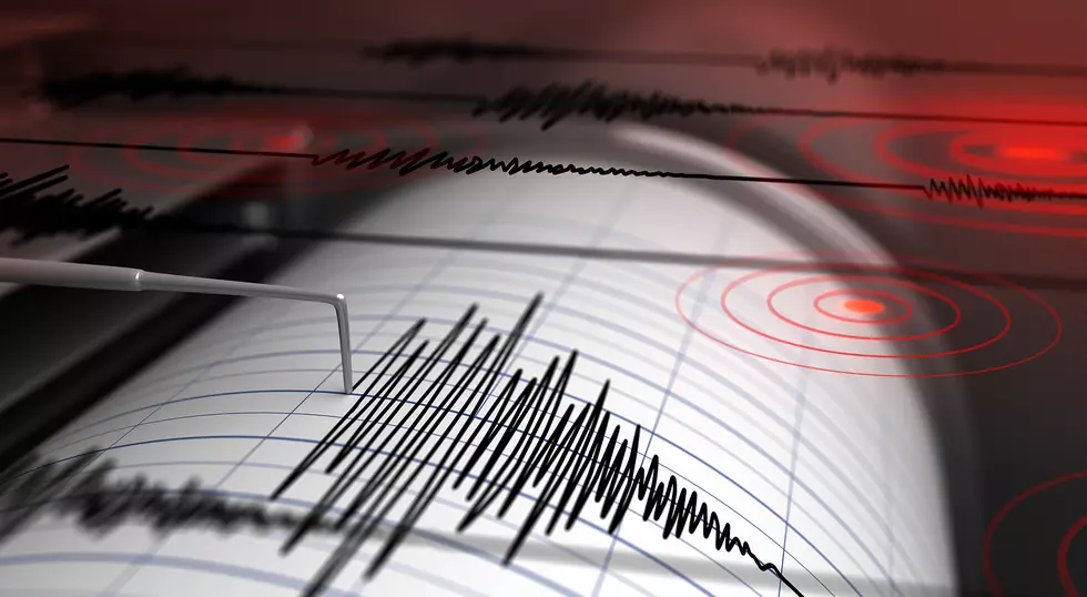
A small earthquake of 2.6 magnitude shook a rural area southwest of Ennis, Montana on Wednesday.
It wasn't very big and probably wasn't felt by anyone....but maybe some antelope. The exact location of the minor quake is quite rural. (It's actually 22 km NE of Lima, Montana near the border with Idaho.
- Magnitude: 2.6
- Location: 22 km NE of Lima, Montana
- Time: 2021-02-17 14:04:33 (UTC-07:00) This is 1:04pm local time, btw.
- EXACT Location: 44.790°N 112.406°W
- Depth: 9.2 km
- For another location perspective, this quake was 32 miles from Dillon, Montana
You can check for the latest earthquakes around the globe at anytime by visiting the USGS website. They have a very easy to read map with all the basic details of each quake.
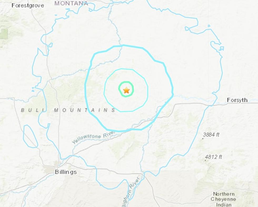
There was also a Magnitude 2.8 earthquake 55 miles from Missoula, MT on Feb 14th at 4:36 AM. (The quake was northeast of the city of Missoula in the Flathead National Forest, ALMOST halfway as the crow flies to Great Falls.)
Montana is the fourth most seismically active state! We usually get between 7 to 10 very small earthquakes every single day. Those super small quakes are usually far below 3.0 magnitude. Montana's "Big One" in 1959 at Hebgen Lake is the 14th largest earthquake in American history.
During the past 30 days (from February 17th), Montana was shaken by 3 quakes of magnitude 3.0 or above and 37 quakes between 2.0 and 3.0. There were also 185 quakes below magnitude 2.0
You can also get the latest news from the USGS in addition to the map discussed above, by subscribing to their updates.

More From KISS FM