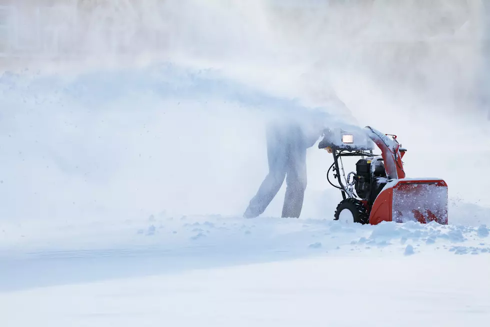
The mountains north of White Sulphur Springs could get up to 6 inches of fresh snow by noon on Monday. A Winter Weather Advisory has been issued for the Little Belt and Highwood Mountains.
Thursday will be quite windy on Montana's Fort Peck Lake. Boaters and recreationalists should use caution while on the reservoir. Small boats could encounter hazardous conditions with waves, caused by 35 MPH winds.
Drought in Montana is always a serious problem - not just because of wildfire risk during summer months, but because our population continues to rise and everyone needs clean drinking water. This year, there are some real areas of concern.
Don't put those snow shovels away just yet. Southwest Montana is in for another round of heavy, wet Spring snow. Some higher elevations could get up to 2 feet of snow by Monday afternoon. Dangerous winds up to 50 MPH are also in the forecast.
The highest elevations of Montana could end up with TWO FEET of fresh snow with this Spring storm, along with dangerous 40+ MPH wind gusts. Even several valleys in western and southern Montana are expected to get several inches of snow by Friday morning.
Lots of mountain snow and gusty winds are going to hit Montana counties after several days of mild, pleasant Spring weather. There will probably be travel advisories in effect for major roadways through Thursday evening.
Huge portions of northeast Montana are under Red Flag Warnings for fire danger. High temperatures, low humidity, and gusty winds are a recipe for wildfires. These can be especially dangerous in Montana's rural areas with fewer resources to fight them.
Tuesday is expected to be very windy in several counties of northern Montana, to the east of Glacier National Park. Gusty winds will develop Tuesday morning and continue through most of the day, creating hazardous travel conditions for high profile vehicles.
The mountains of SW Montana counties could see up to 18 more inches of snow by Friday morning, with an extended Winter Weather Advisory. Several other areas in Montana are also under some sort of weather warning.
The sudden warming trend in Montana is making for hazardous avalanche conditions in some backcountry areas, especially in popular recreation spots in northwest Montana.
Just about every county in western and central Montana has some sort of weather advisory in effect to kick off this weekend. More snow and very gusty winds are expected, which could make travel difficult at times.
Thursday was already forecasted to be very windy across Montana, but of course the Livingston area had to kick it up a notch. There is now a short-lived Wind Advisory for the I-90 corridor, in effect until Thursday afternoon.