Rain & Snow Forecast For Bozeman Area; Weather Advisory Issued
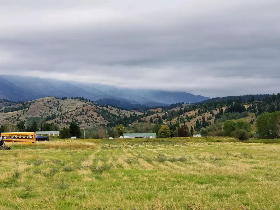
A winter-type storm is moving into the Bozeman area today, bringing rain and, at the upper elevations, snow. Hopefully, this will assist firefighters who are currently battling the 7,100 acre Bridger Foothills Fire in the Bridger Mountains.
The rain is expected to begin around noon, with a possibility of 4" of snow falling in the mountains this evening.
The National Weather Service has issued a Winter Weather Advisory from noon on Monday until midnight tonight above 6000 feet. Temps are also expected to be very cold for the overnight, falling into the 20s. You may want to bring in or cover some of your plants.
Here is the official forecast from the National Weather Service:
...WINTER WEATHER ADVISORY REMAINS IN EFFECT FROM NOON TODAY TO
MIDNIGHT MDT TONIGHT ABOVE 6000 FEET...
* WHAT...Snow expected above 6000 feet. Total snow accumulations
of up to 4 inches. Winds gusting as high as 40 mph.
* WHERE...Gallatin, Broadwater, Jefferson, and Madison.
* WHEN...From noon Monday to midnight MDT Monday night.
* IMPACTS...Wet snow and unseasonably cold conditions will
impact those traveling, recreating or working outdoors at
higher elevations in the mountains. Minor accumulation of
slush on some higher elevation passes could make road surfaces
slippery.
While this will be a welcome relief for firefighters, it will be a short storm, and temperatures will begin warming up by Wednesday. The extended outlook calls for temperatures to be back up around 80 degrees by this coming weekend.
Forecast for The Bozeman Area This Week:
Mon: Rain/Snow, 50/27
Tue: Partly Cloudy, 50/26
Wed: Sunny, 63/32
Thur: Mostly Sunny, 68/38
Fri: Sunny, 76/43
Sat: Sunny, 79/45
Sun: 82/45
KEEP READING: Get answers to 51 of the most frequently asked weather questions...
More From KISS FM