"It's EPIC, Brah!" Can't you hear it now? Another FOOT of snow is possible for the mountains of southwest Montana by Thursday morning with up to 6 inches in the valleys.
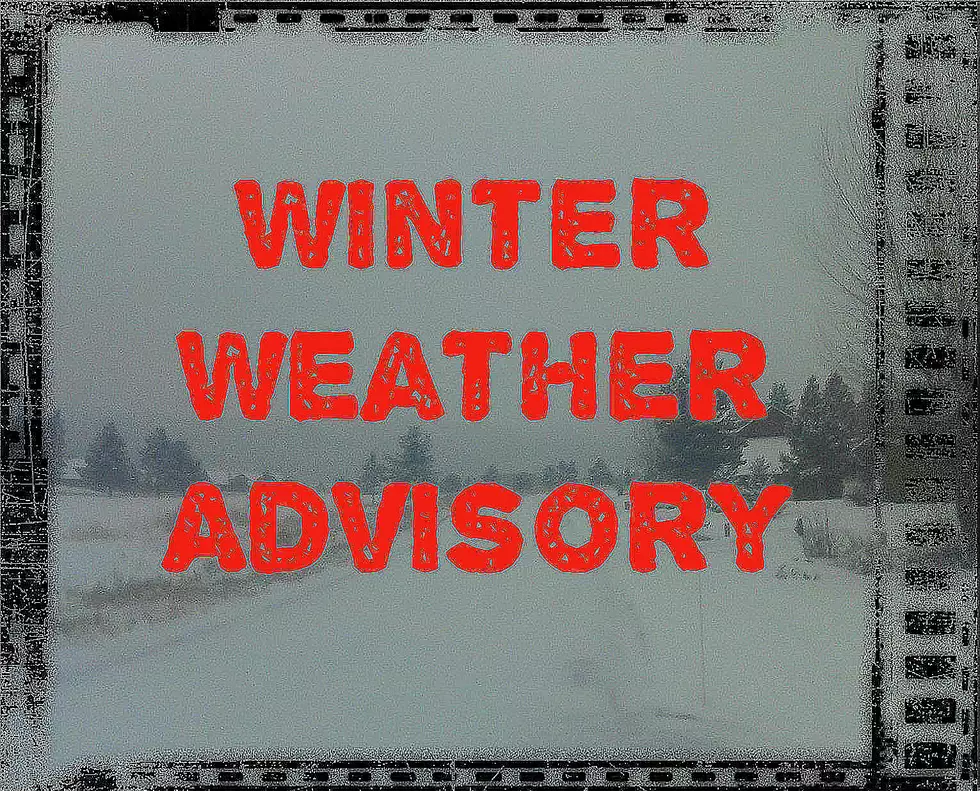
A Winter Weather Advisory has been issued for areas above 6,000 feet in Gallatin and Madison counties with a foot of snow possible at the highest elevations.
It's going to be a blustery couple of days in SW Montana with Winter Weather Advisories for several counties. Higher elevations could see up to 5 inches of snow by Wednesday morning.
Much coolers temps around SW Montana on Monday are prompting Winter Weather Advisories for high elevations. Good news for areas prone to fires, bad news for those of us who aren't ready for Summer to end.
We're expecting another round of snow and wind in Bozeman and surrounding areas, especially the mountain passes. Up to 10 inches of snow may fall by Monday afternoon in the highest elevations.
Another round of snow and wind is headed for Gallatin and Madison counties. Tuesday morning could be snowy but more concerning is possible gusty winds shifty the snow that has ALREADY fallen.
Streets in town will probably melt off today but a few more inches in the higher elevations today around Helena, Bozeman and West Yellowstone should stick.